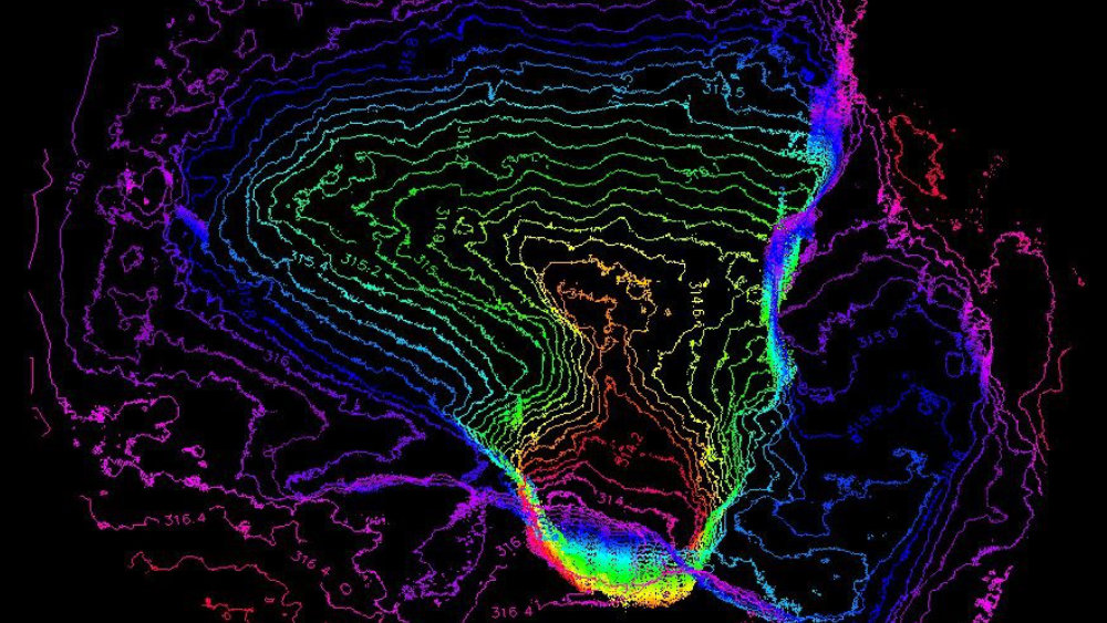
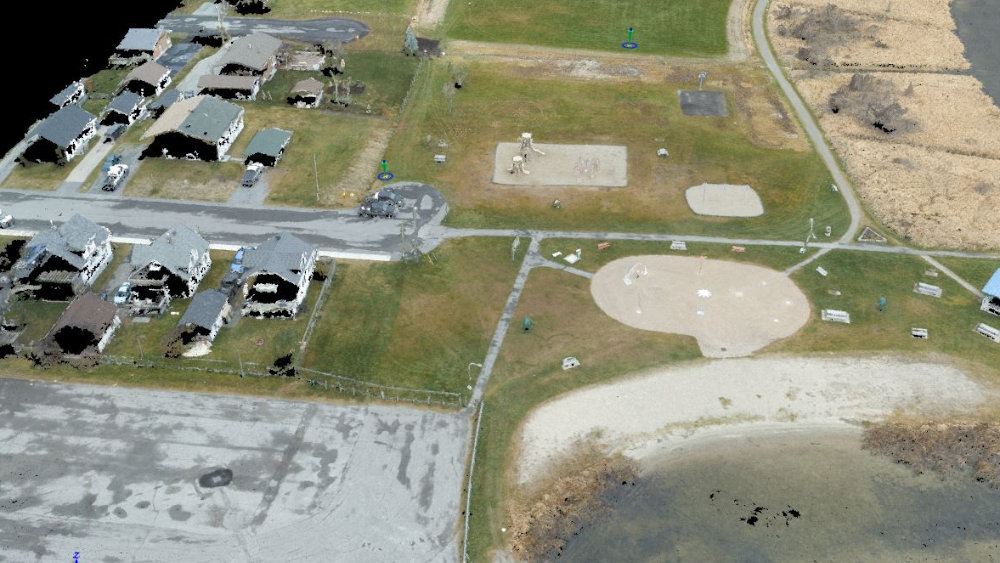
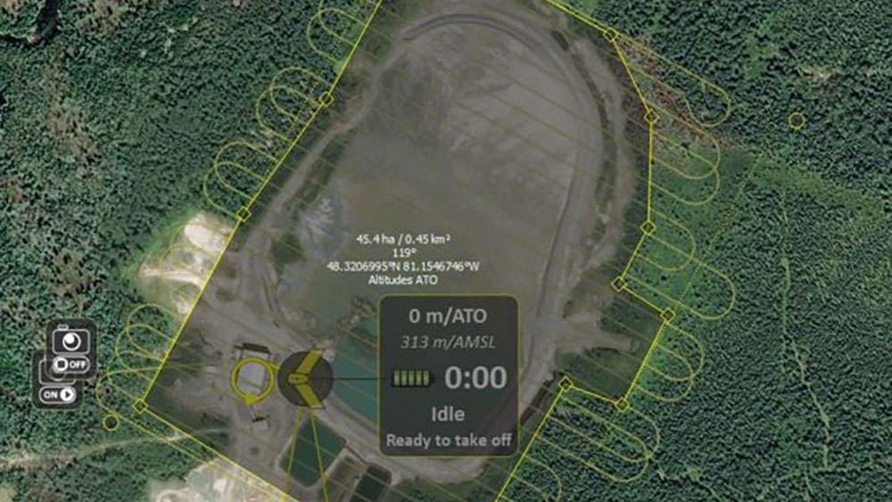
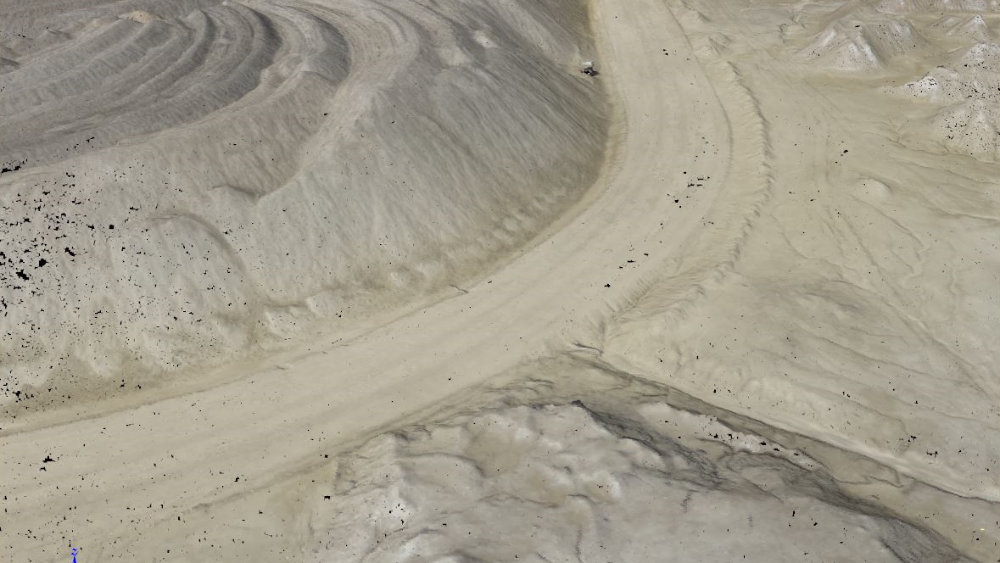
In a single 50-minute flight, our eBee UAV units collect up to 10km² of aerial photography. With a 16MP camera, it captures aerial imagery accurate down to 1.5cm/pixel resolution. The images can be processed to create stunning maps & elevation models with a precision of 5cm.
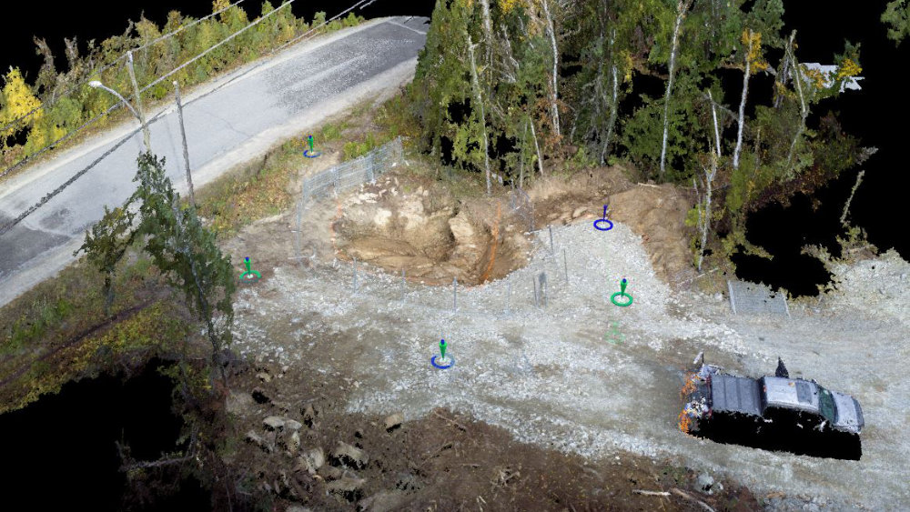
Postflight Terra 3D allows automatic processing of geo-referenced orthomosaics & digital elevation models (DEM) down to 5cm accuracy (relative accuracy). Ground control points can be used to increase global precision. The final result can be increased by seam-line editing and luminosity adjustment functions.
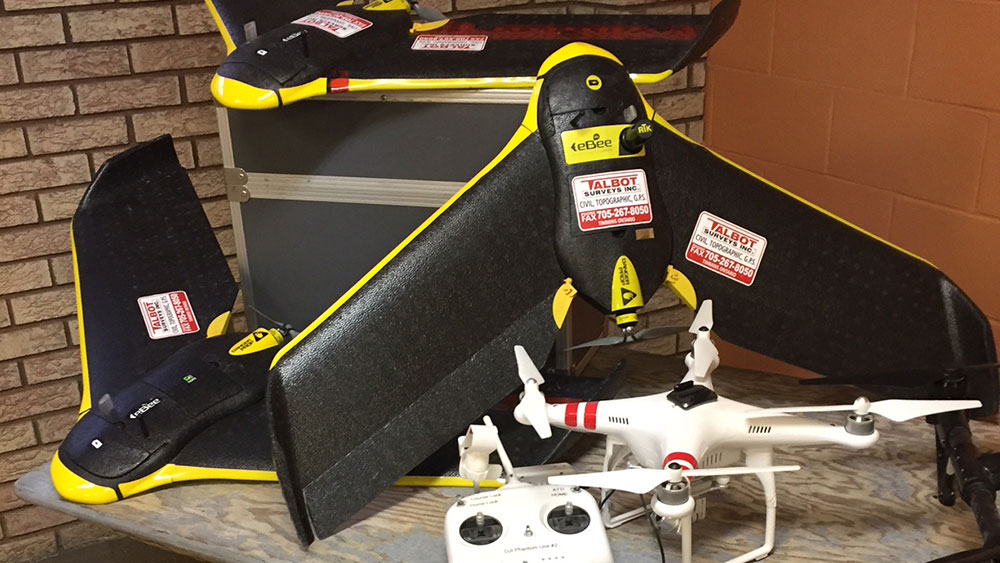
eBee Classic
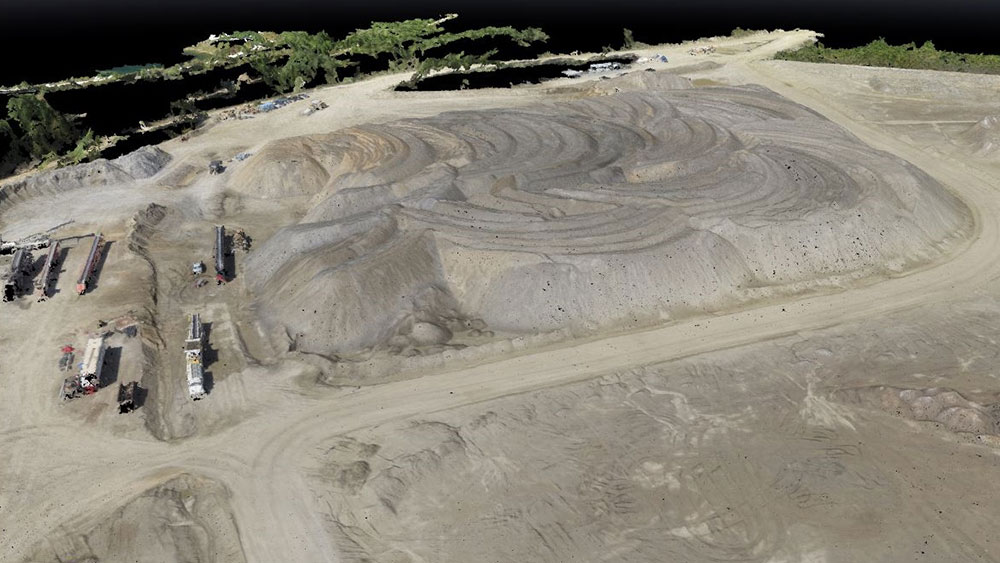
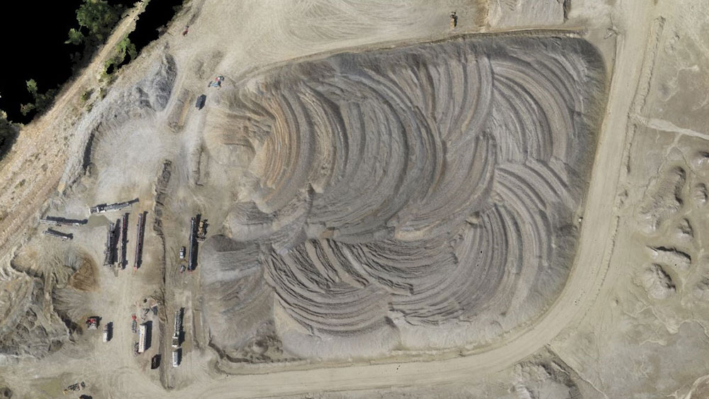
With UAV technology continually advancing, our team utilizes the SenseFly eBee Classic to collect accurate information of large areas in a fraction of the time compared to boots-on-the-ground surveys. It can cover up to 12 km² (4.6 mi²) in a single automated mapping flight, while flights over smaller areas, at lower altitudes, can acquire images with an accuracy of 1.5 cm (0.6 in) per pixel.
ebee X
Designed to provide absolute accuracy down to 1.5 cm (0.6in) with RTK/PPK to cover up to 500ha to meet the highest standards in our industry
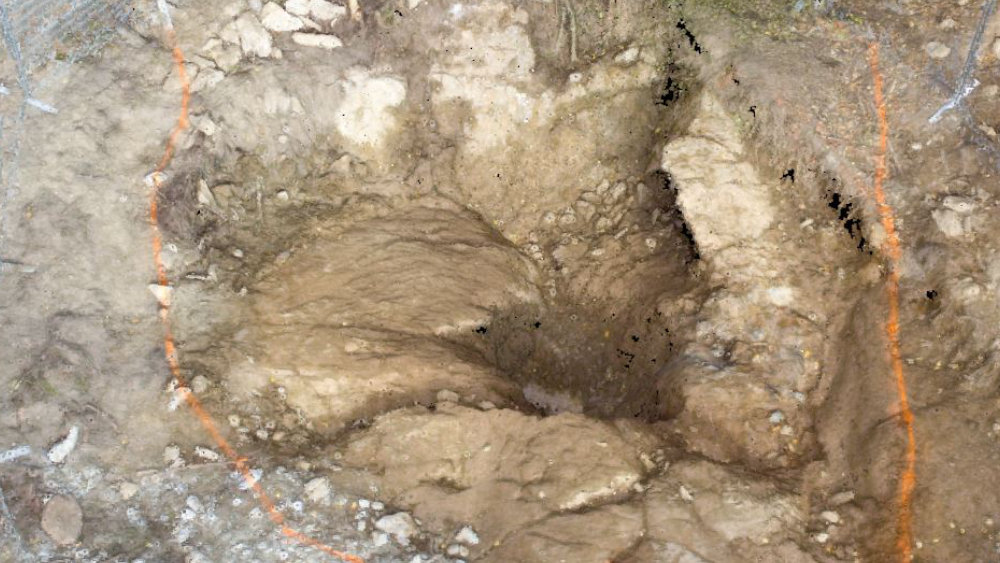
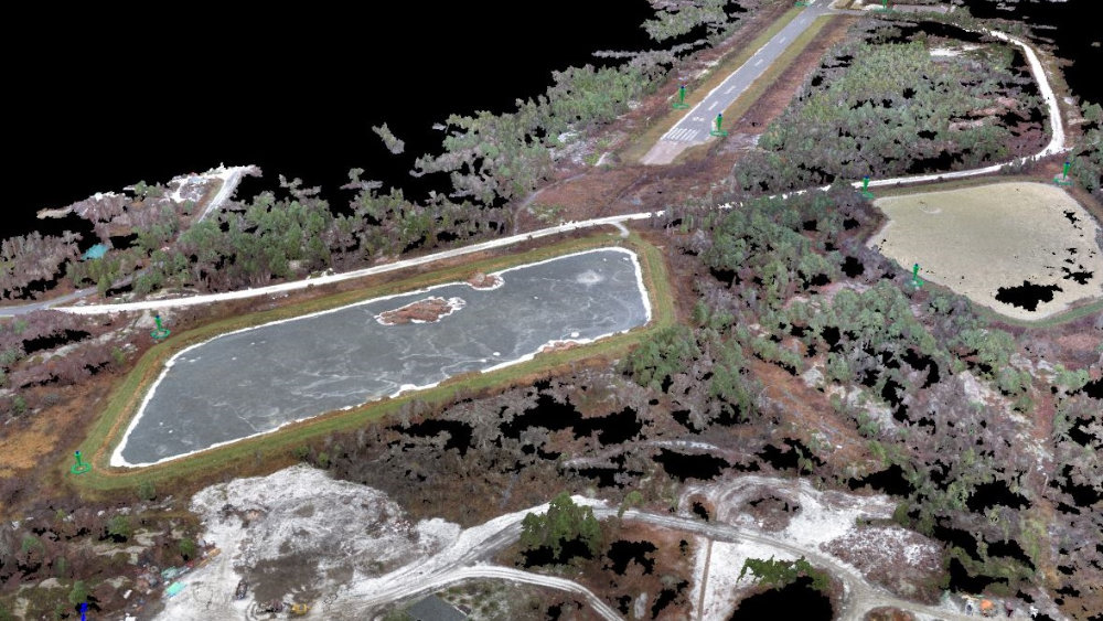
See our gallery to get a better idea of what UAV technology can offer, highlighting some of the small & medium-sized projects Talbot Surveys Inc. has been a part of.